Customer
Focused
Innovative
Products

Quality
Approach

Focused

Products

Approach

Since 2012, we have been designing and manufacturing innovative UAVs for surveillance, reconnaissance and intelligence missions, perfectly adapted to the needs of our civil and military customers, combining technological and economic performance.
Our AVEM civilian UAVs and NOCTUA military UAVs have flown several thousand hours, providing the aerial data needed for effective, rapid decision-making. Safety and reliability are our prime objectives. All our products are developed in-house to ensure seamless integration between aircraft and subsystems, and deliver the best performance under the most demanding environmental conditions.
Since March 29, 2024, Aeromapper has been part of the Thales Group, consolidating its ambitions in both the civil and military sectors and reinforcing its growth in France and abroad.


Innovation is at the heart of aeromapper’s DNA. We are constantly working on new projects to improve our system’s performance and develop solutions for new markets.
All of our technologies have been designed in-house which allows us to constantly improve our airframes, autopilots, softwares and integrate new payloads.
Stay tuned !

Aeromapper is a dynamic and innovative startup.
We believe in drones that gets the job done and creates value to our customers. Ultimately data is the only thing that matters and we place a strong focus on developping tools that turns imagery into valuable decision-making tools.
Copyright Aeromapper 2019

The AVEM has been designed for topography and has every necessary characteristic to fulfill demanding data collection missions.
Aeromapper can send exemples of data sets on demand to show its outstanding aerial imaging capacity.
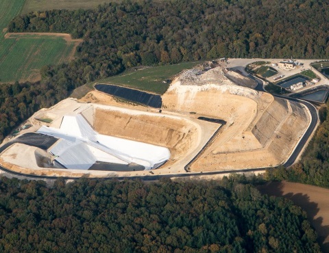
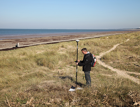
The AVEM integrates a tactical grade IMU (Inertial Measurement Unit) and GPS that guarantees the quality of your Digital Surface Models, cubic calculations and topographic products. Reduce the number of Ground Control Points (GCPs) thanks to a low distorsion focal, high resolution imagery and very steady flight. You will achieve centimetric accuracy in your planimetric and altimetric measurements.
Construction Digital Surface Model 3D modeling Topographic plan Elevation plan Cubic calculation / volumetry Flood risk / Flood management Quarry and landfill management
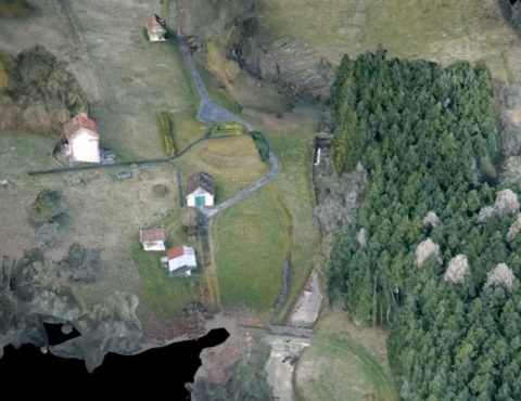
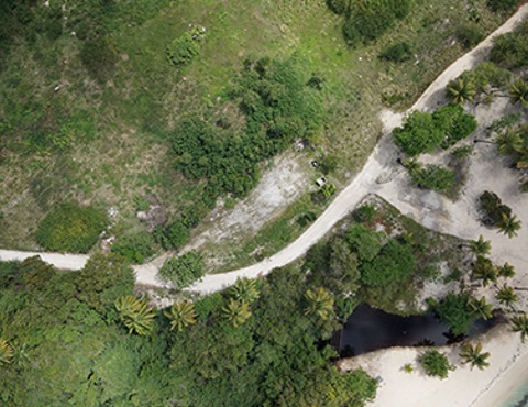
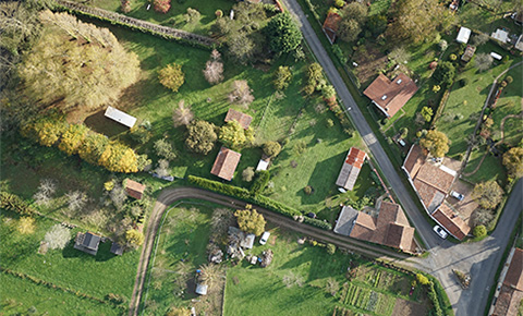
The AVEM's ease of use allows it to be quick to deploy and cost-efficient.
Don't wait any longer to acquire updated data, whatever the project: in order to reduce your costs, collect valuable data, support your studies, ready to use in every post-treatment and GIS software.
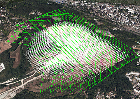
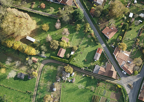
Simulate your project's integration Give value Infrastructure implantation Manage your territory Analyze vegetation or crops Communicate Study
Construction Urban planning Archeology Infrastructures Networks Environment Agriculture Scientific studies
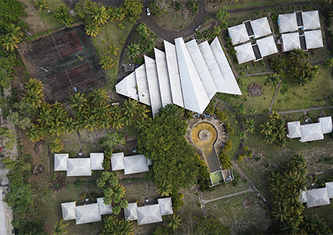
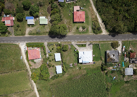
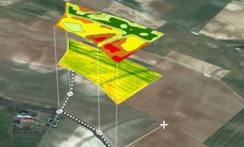
Our drone data collection technology allows to work closer to the crops (150 meters above) without compromising it. More accurate and more flexible than any other method like satellite or sample collection, our UAV allows to collect crop health data quickly and cost effectively.
With a resolution 80 times greater than satellite imagery, our solution analyzes each plant of your plot and is no longer limited by a global view.
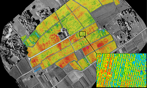
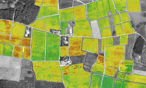
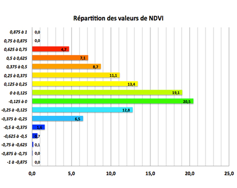
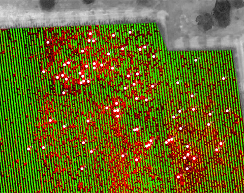
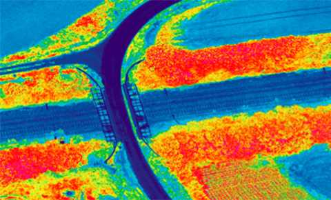
Based on NDVI mesurements, our vigor maps allows to : Define your picking areas Optimize harvest dates Optimize plot fertilization View and count dead plants
Prevent over or under fertilization to maximize yield Benefit from up to date vertical imagery to have a global view of your parcels
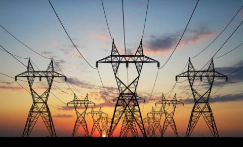
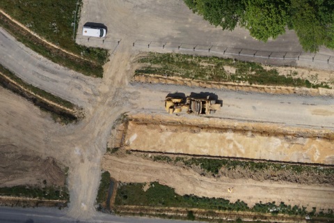
Thanks to a unique RGB and near infrared imagery quality in terms of radiometrics, precision and resolution, coupled to an outstanding range and flight duration, the AVEM is the perfect tool to monitor, inspect and manage your networks either in construction or exploitation phase.
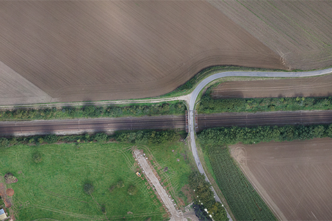
Manage your infrastructure Detect anomalies and defects View constructions in close proximity Simulate the integration of your projects Communicate
Check for hazards Detect unauthorized persons Ensure the safety of your infrastructure
Monitor vegetation encroachment Plan maintenance operations Detect any potential hazard