Avionics system for UAS
Two high-performance avionics at your disposal
Choose the one that perfectly meets your requirements for successful missions
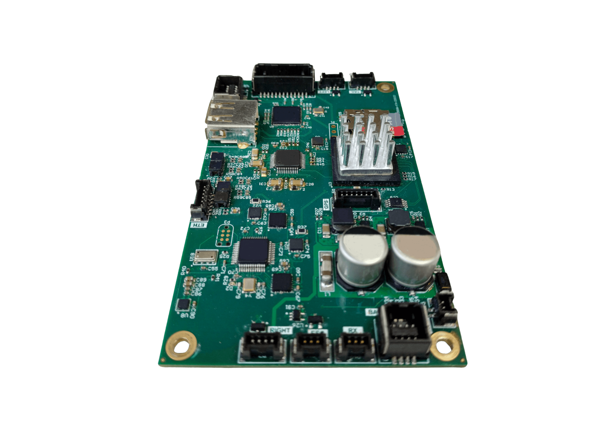
ARIES avionics : for light UAS
Aries is our integrated, reliable, robust and cost-effective avionic solution. It ensures safe and optimize flights for any missions.
")
120 g
Weight
")
> 5000
Flight hours
")
SAIL II
Operation
Simplex
L1/L2 MC GNSS
ADS-b IN
System reliability
Produced for several years, Aries avionics has thousands of hours of experience in a various conditions.
Customised avionic
Aries is a lightweight, highly integrated avionic solution, ideal for UAS platforms requiring the highest precision flight control.
In-house avionics and autopilots
~
Compatible with Aeromapper and tiers UAS
Multichannel encrypted data link
Powerfull payload Interface
User-friendly
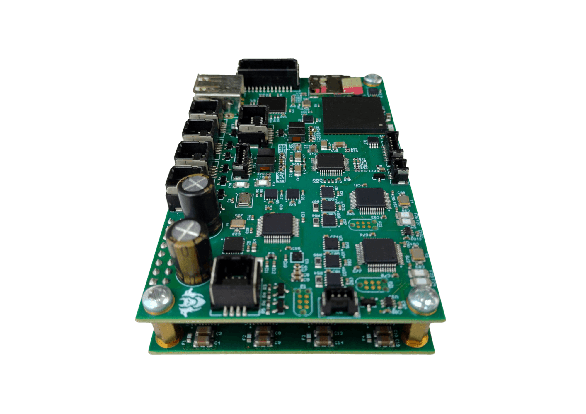
CERBERE avionics : for high-value UAS over populated areas
Cerbere is our high-reliability autopilot. Designed to have no single point of failure, this highly redundant autopilot is suitable for SAIL III operations.
240 g
Weight
> 2000
Flight hours
SAIL III
Operation
Triplex
Dual GNSS L1/L2 + L1 CRPA
ADS-b IN/OUT
Redundant
Cerbere avionics is a redundant system with no single point of failure : the mission continues without risk, guaranteeing total reliability for your critical operations.
Certified
SAIL III certification for drones: a guarantee of excellence and safety, ensuring optimum risk management and compliance with the most demanding standards in the aviation industry.
Data link is designed and manufactured in-house
Tracking antennas
Encrypted data links
(AES 256)
Wireless

18 hours of endurance
Quick and easy installation
1 sturdy/easy to carry case

Thanks to its carrying case, you can easily move your ground station anywhere in the world
Battery-powered, the station is designed to be extremely easy to use
The control interface, developed in accordance with aeronautical codes, guarantees absolute safety
Aeromapper software suits

User-friendly
Forget complex calculations.
Aeroplanner plans your missions in just a few clicks and integrates your specifications simply and intuitively thanks to its user-friendly MMI.
Fast
Few minutes are sufficient to integrate all the mission and terrain characteristics, and prepare your flight plans efficiently.
Powerful
Aeroplanner integrates all the calculation tools needed to successfully complete the mission in accordance with your customer’s specifications.
Aerostation
Designed according to aeronautical standards, Aerostation is our in-house flight tracking software. It automatically monitors all flight parameters and ensures flight safety at all times. Once you’ve planned your mission with Aeroplanner, Aerostation lets you simulate, fly and even replay your missions.
Aeroplanner
Aeroplanner lets you plan your missions. Designed to guarantee the safety of your flights thanks to altitude and obstacle management functions, it also incorporates our patented tool which considerably optimises the time needed to follow curved linear networks.
Aerogeo
In just few clicks, Aerogeo checks the integrity of your data and export geotagged images with centimetric accuracy to subsequent photogrammetric post-processing software.