AVEM 300
High-performance mapping and surveillance UAS system
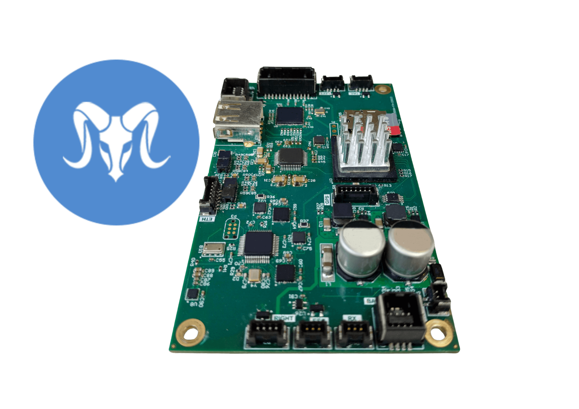
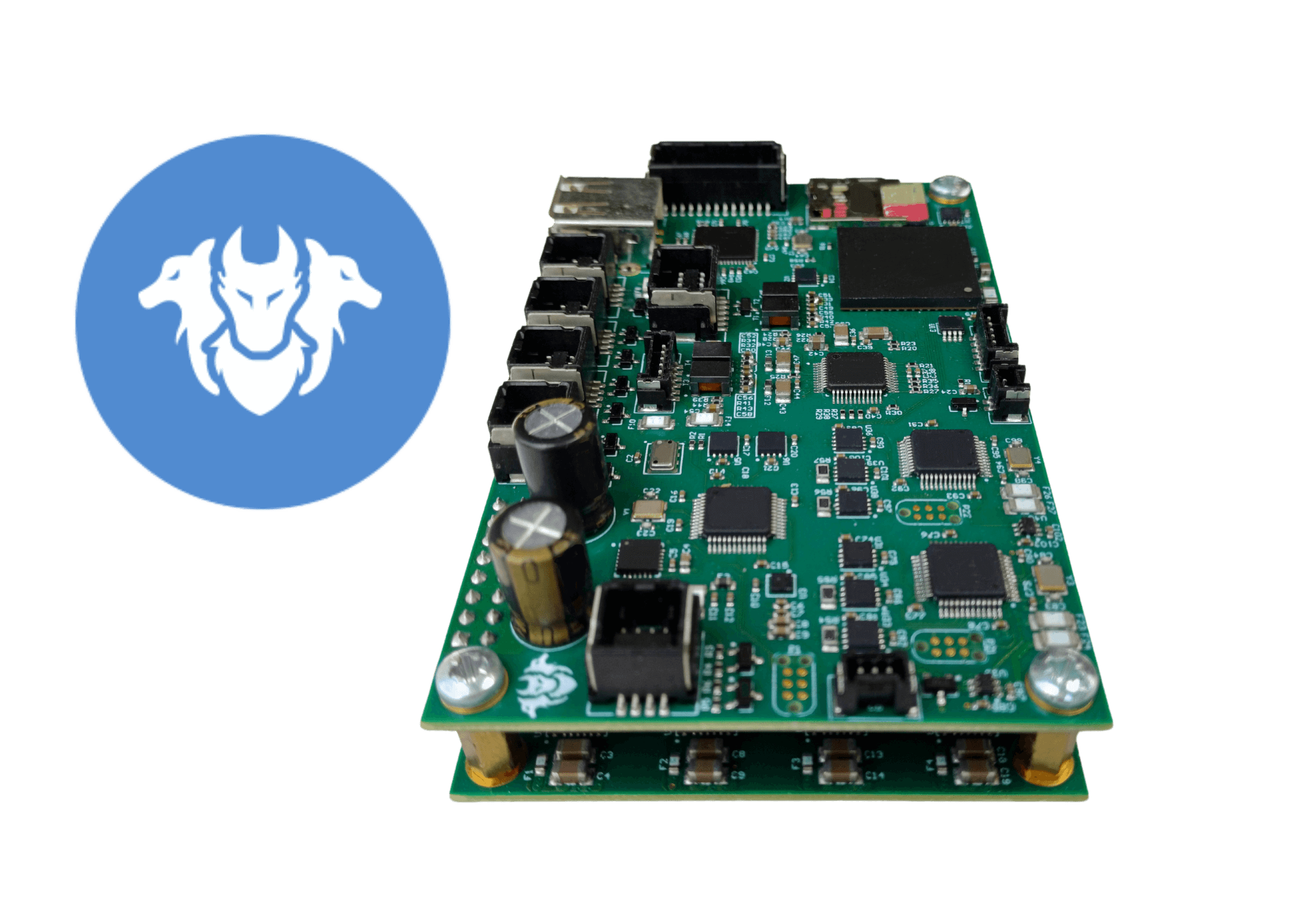
The result of several years’ development, the AVEM has been designed specifically for cartography. Its structure and all the on-board electronics were created entirely by Aeromapper. Three essential criteria guided the design: high imaging quality, the ability to cover large areas quickly and ease of use.

3 m
Wingspan

7 kg
MTOW

24,3 Mpx
Sensor

Up to 3 h
Autonomy
3 hours of endurance
The best flight time in its category available on avem means you can cover hundreds of kilometres efficiently.
S4 scenario
The AVEM is approved for long-distance out-of-sight flights and covers very large areas
Certified SAIL III
Thales & Aeromapper 1st SAIL III DVR in Europe. AVEM 300 CERBERE ScaleFlyt April 2024
Sensor characteristics
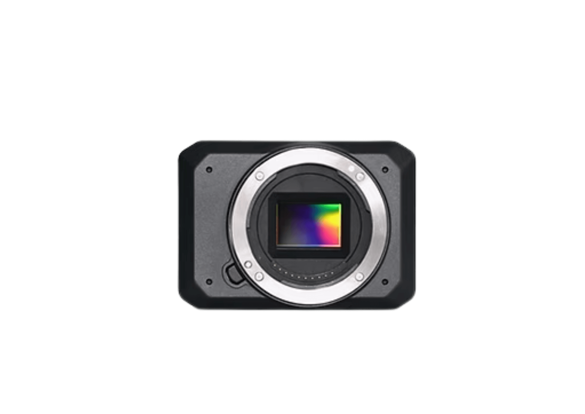
ADTi 24MP 24S V3 Surveyor Lite
Advances in sensor technology are progressing at a rapid pace. That is why we have adopted one of the most innovative solutions available, guaranteeing reliable data and maximum efficiency.
Format
APS-C
Image resolution
6000 x 4000 (24,0 MP, 3:2)
Size
89,8 x 63 x 36,2 mm
Our data is used to create land and surface models, orthophotographs, archaeological and geological studies, architecture and, more generally, to feed Geographic Information Systems.
Acquisition of geographical data
A unique service in Scenario S4 enabling out-of-sight flights over large area
Supply of imaging products
Defined to your specifications with a resolution of less than 1 cm/px
Infrastructure monitoring
Monitoring vegetation, detecting anomalies and hazards on your infrastructure networks
Capture precise, detailed data for high-quality results
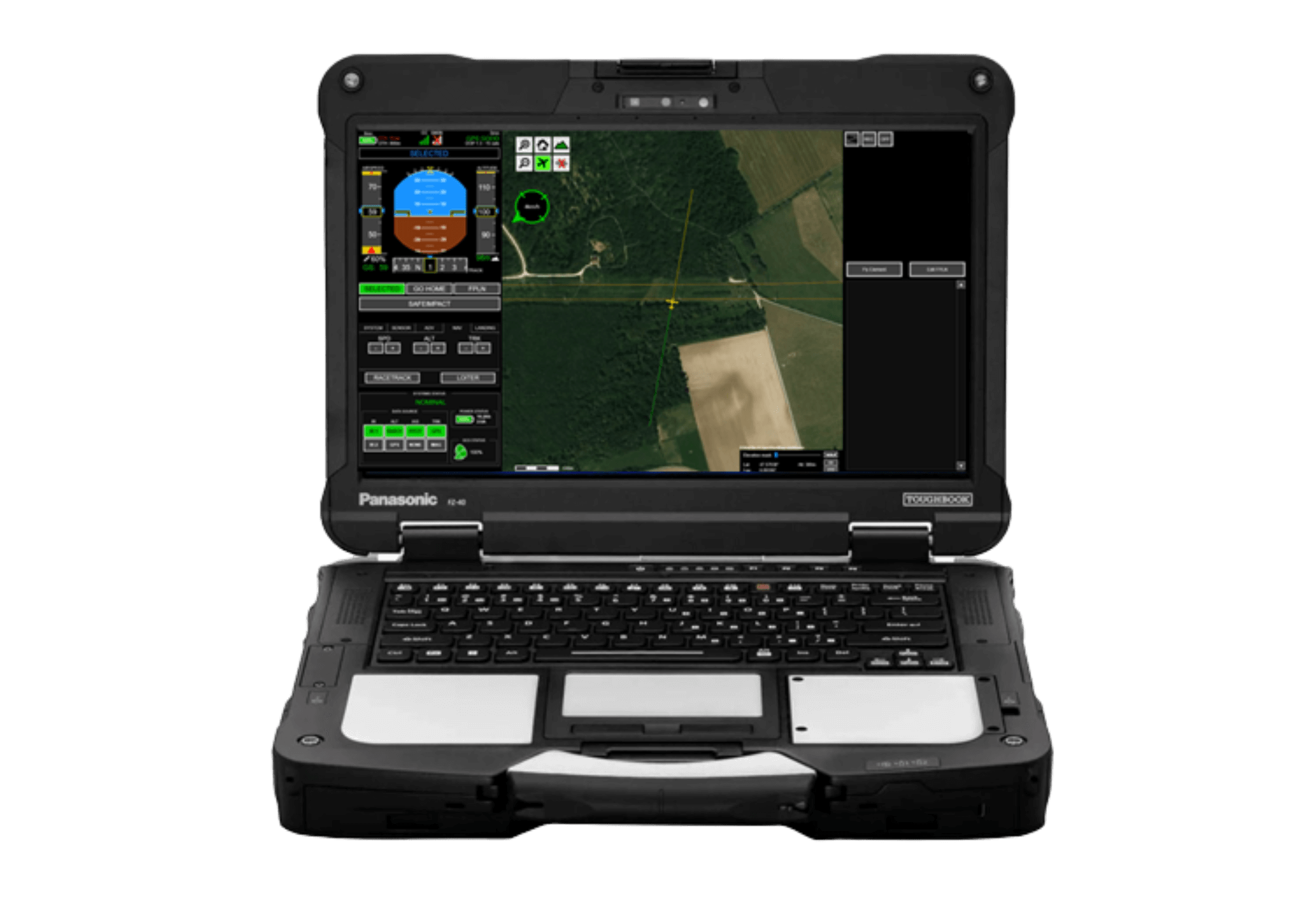
Command and control software
Specifically designed to make mapping operations planning easy, Aeroplanner allows you to quickly plan the most complex flights without any calculation
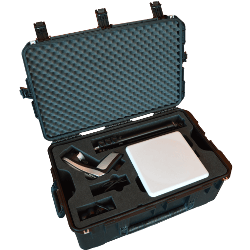
Our data link is designed and manufactured in-house
The radio communciation is an essential part of the system.
The radio communication is the link between the UAV and the user. It includes a tracking antenna mounted on the ligh-weight mast, communication system software.
Our radio communications system provides two functions: Command and control link, and a video data link.
Applications
The AVEM system can be used in many applications requiring the mapping of large areas or long linear networks.
- Up to 100 km per day
- 2-pass fkight allowing 3d reconstruction
- Thermal inspection
- Multispectral sensor
- NDVI
- NDRE
- Up to 5 km²/h
- Between 1 and 3 cm definition
- Productivity up to 4 km²/h
- Excellent precision : embedded PPK
- Excellent precision:
- Embedded PPK
- Crossed flght plan
- 2,5 km²/h productivity
Customisable avionics configuration
Choose between two high-performance avionics for high-precision, reliable aerial missions
Technical specifications and datasheet
MTOW / Max payload weight
7 kg / 1.4 kg
Cruise airspeed
60 km/h
Max wind
35 km/h
Max altitude
> 3000 m
Temperature
-10°C to + 50°C
Wingspan
3 m
Hours
Up to 3 h
Range
50 km
Deployment time
5 min
Casing size
165 cm x 42 cm x 59 cm 40 kg
