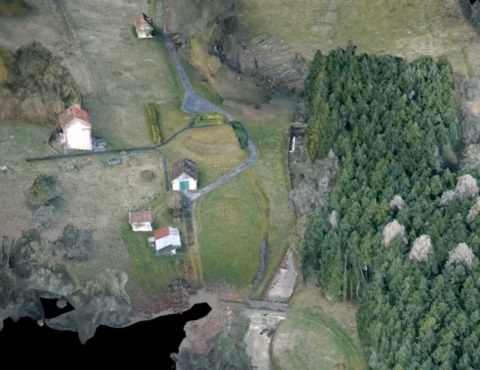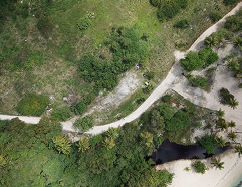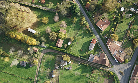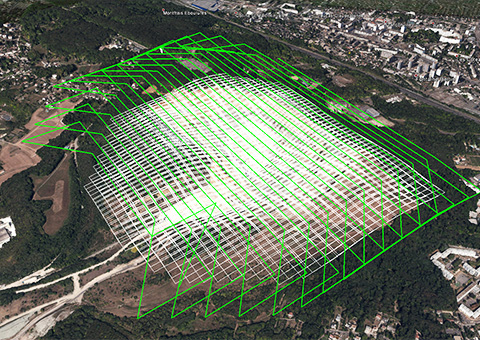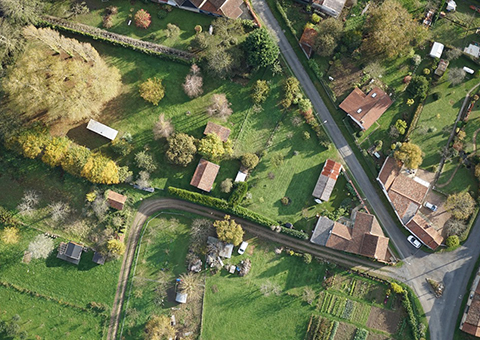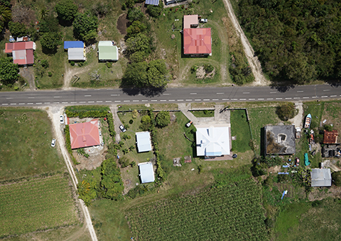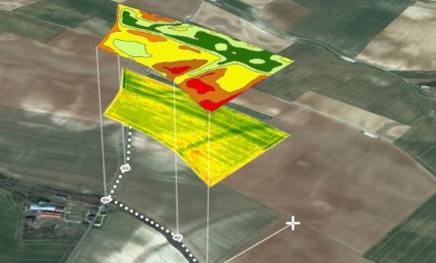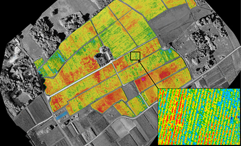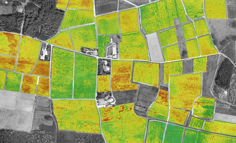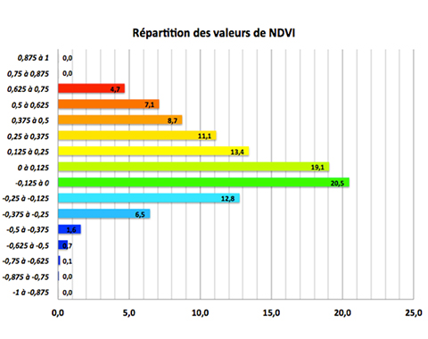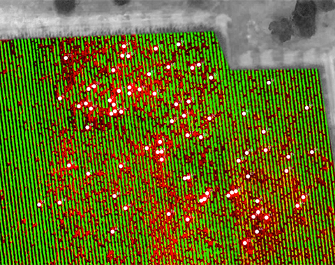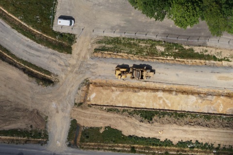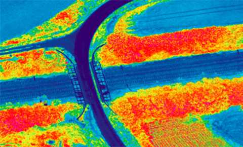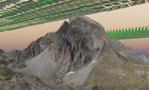
A unique data quality for a UAV
The AVEM integrates a tactical grade IMU (Inertial Measurement Unit) and GPS that guarantees the quality of your Digital Surface Models, cubic calculations and topographic products. Reduce the number of Ground Control Points (GCPs) thanks to a low distorsion focal, high resolution imagery and very steady flight. You will achieve centimetric accuracy in your planimetric and altimetric measurements.